
Long-Distance Communication: Rockfall Monitoring in Real Time
Overview
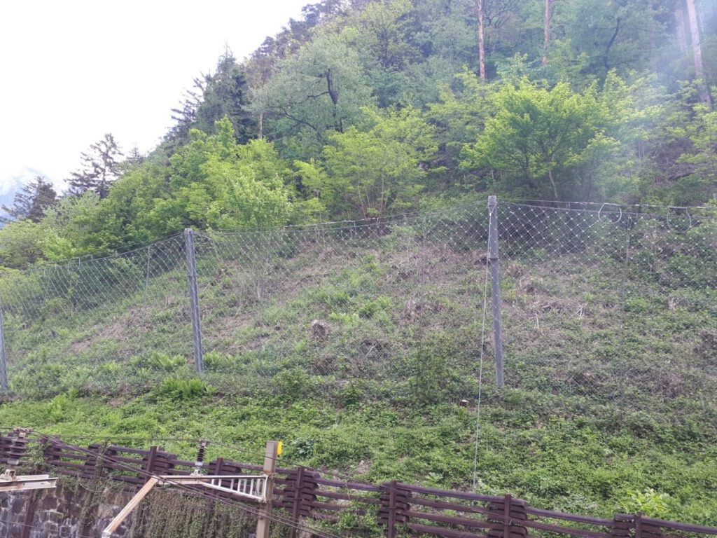
Many hazard zones—such as Rockfall & Landslides, especially in alpine or isolated regions—are difficult to reach and challenging to maintain.
For these locations, reliable remote monitoring is not just convenient, it’s essential.
The Impact Sentinel system was engineered to provide long-distance data transmission and autonomous operation, ensuring that even the most remote installations can deliver accurate, real-time information to operators hundreds of kilometers away.
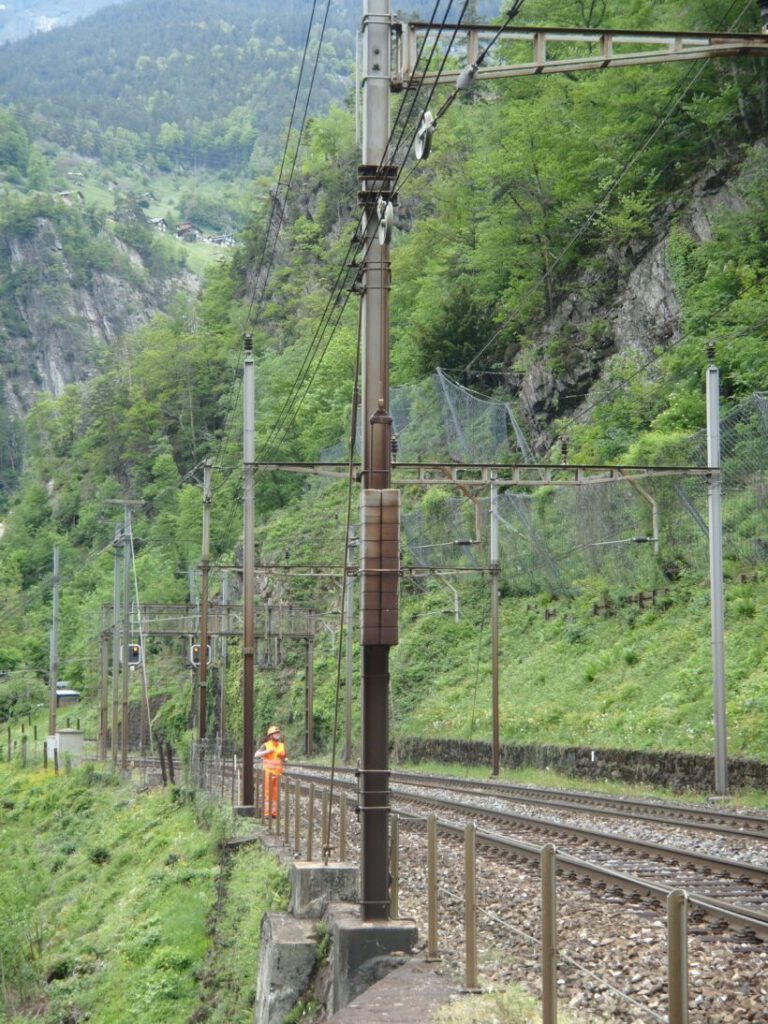
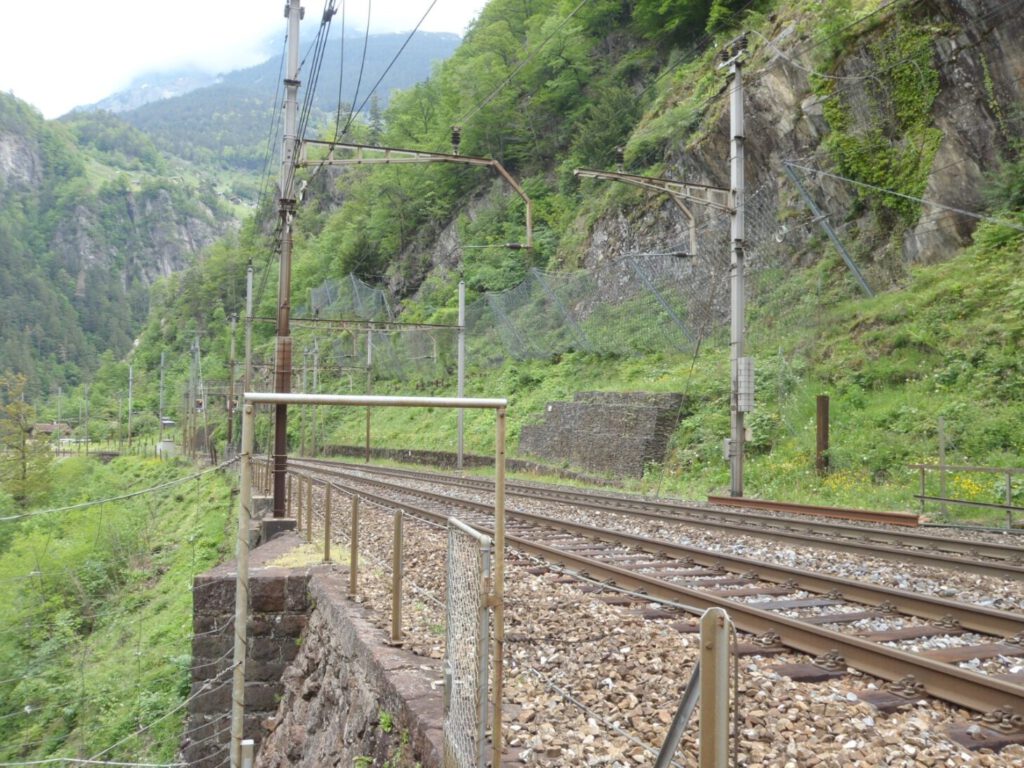
This system is already in active use in Flüeli, Switzerland, where it provides continuous monitoring in a high-risk alpine rockfall zone.
The Challenge
Remote hazard sites often face:
-
Limited or no power infrastructure
-
Poor GSM / Cellular coverage
-
Extreme weather conditions that can affect data reliability
-
High logistical costs for manual inspections
These conditions make it difficult to maintain a stable connection and continuous data flow—especially across mountain ranges, valleys, or vast open terrain.
The Solution
The project team designed a multi-relay communication network for long-distance monitoring, combining radio-frequency links, GSM-R / 4G networks, and satellite backup.
Each system includes:
-
Autonomous power supply (solar or Li-battery)
-
Base stations and data relays positioned at strategic elevations
-
Our system uses active multi-channel redundancy, continuously transmitting data across multiple paths for maximum reliability.
-
The SAM (Sensor Actor Module) software platform integrates all data streams into one easy UI interface, allowing users to monitor sensor health, barrier status, and environmental conditions in real time.
Performance
Field tests showed successful data transmission across multiple kilometers of rugged terrain, with near-zero data loss.
The system demonstrated full functionality even under snow and heavy rainfall conditions, where traditional telemetry often struggles.
Regular heartbeats and sensor status checks ensure the network remains live at all times, giving operators confidence that no event goes undetected.
Applications
This long-distance setup is now being deployed across:
-
Remote rockfall and landslide barriers
-
Hydropower installations and access roads
-
Avalanche-prone corridors
-
Large infrastructure projects requiring multiple monitoring zones
Conclusion
Through its combination of robust communication architecture and intelligent redundancy, the Impact Sentinel system has proven its ability to deliver reliable, long-distance monitoring—from remote mountain passes to isolated industrial sites.
Even in the harshest environments, the system ensures one thing above all: that operators remain connected, informed, and ready to respond the moment an event occurs.
For more information about the monitoring technology and the team behind it, fill in the form below.